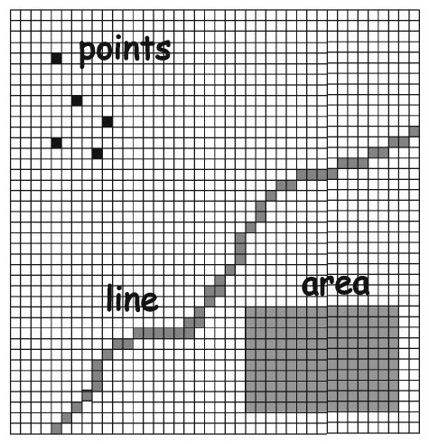
In this unit, I explore different methods and processes for solving spatial problems with raster data. Raster data is cell-based and each cell contains an attribute value. Raster data is most useful when working with continuous data such as elevation, air pollution, and precipitation. This section analyzes raster data by using methods like site selection, site suitability analysis, and image classification.